Since the Fukushima Daiichi nuclear power plant accident in 2011, evacuation area has been set up in area of high radiation level.
The evacuation zone (i.e., a zone in preparation for lifting the evacuation order, a restricted residence area, and a difficult-to-return-to zone) at the Fukushima Daiichi power plant accident in 2011 covered 1,150 km2
(Cabinet Office of Japanese Government Livelihood Support Team for Nuclear Disaster Victims 2013), with about 81,000 people evacuated from the area (Cabinet Office of Japanese Government 2013).
Cease of agricultural activity and land management altered the agricultural landscape of eastern Fukushima Prefecture, and it can affect the structure and function of the ecosystem.
In 2014, we started monitoring of various taxa: birds (Fukasawa et al. in review), mammals (Fukasawa et al. 2016), insects (Yoshioka et al. 2015) and frogs, in and around the evacuation area as a part of research program on Disaster Environment,
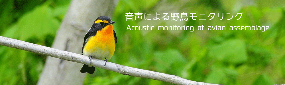
National Institute for Environmental Studies (Yoshioka et al. 2016). For birds, we focused on species inhabiting agricultural landscape and urban landscape which is prone to be affected by land abandonment.
We selected public open spaces (e.g. schoolyards) as monitoring sites and set a digital voice recorder per site to sample species composition in acoustic environment.
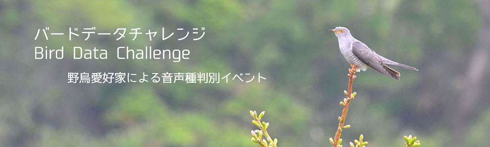
All species were identified by the authors or by professional experts or local citizen experts. Some of the samples were identified through a citizen-scientific project,
“Bird Data Challenge (Fukasawa et al. unpublished)”,
in which we listened to audio data and prepared a species list of birds with involvement of local citizen experts. Such a citizen-scientific approach will improve transparency of our research project.
Because of the high social attention, we considered the data associating the nuclear plant accident should be open as soon as possible. Users can see the occurrence pattern of birds through the Web-GIS “KIKI-TORI MAP”.
When our data paper, Fukasawa et al. (in review), is accepted, the full dataset can be downloaded via internet.
Cabinet Office of Japanese Government (2013) About revision of the evacuation zone. URL: http://www.meti.go.jp/earthquake/nuclear/pdf/131009/131009_02a.pdf (latest access: 14 April 2015) (in Japanese)
Cabinet Office of Japanese Government Livelihood Support Team for Nuclear Disaster Victims (2013) About Difficult-to-return zone. URL: http://www.mext.go.jp/b_menu/shingi/chousa/kaihatu/016/shiryo/__icsFiles/afieldfile/2013/10/02/1340046_4_2.pdf (latest access: Oct 6 2016) (in Japanese)
Fukasawa K, Mishima Y, Yoshioka A, Kumada N, Totsu K, Osawa T (2016) Mammal assemblages recorded by camera traps inside and outside the evacuation zone of the Fukushima Daiichi Nuclear Power Plant accident. Ecol Res 31: 493-493. DOI: 10.1007/s11284-016-1366-7
Yoshioka A, Mishima Y, Fukasawa K (2015) Pollinators and Other Flying Insects inside and outside the Fukushima Evacuation Zone. PLoS ONE 10: e0140957. DOI: 10.1371/journal.pone.0140957
Yoshioka A, Mishima Y, Kumada N, Fukasawa K (2016) Tackling biodiversity monitoring of the Fukushima evacuation zone. IAIA16 Conference Proceedings: 36th Annual Conference of the International Association for Impact Assessment.
Fukasawa K, Mishima Y, Yoshioka A, Kumada N, Totsu K (in review) Acoustic monitoring data of avian species inside and outside the evacuation zone of the Fukushima Daiichi power plant accident (Data paper).